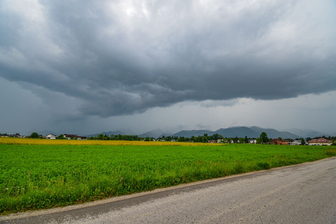
A powerful cut-off low-pressure system is set to bring cold, wet and windy conditions to parts of South Africa from Thursday (3 September 2026), with severe thunderstorms, flooding, damaging winds and large waves among the potential hazards.
The South African Weather Service (SAWS) said the system will develop over the western interior on Thursday, triggering a significant change in weather conditions across several provinces.
Very cold conditions are expected over high-lying areas, with maximum temperatures potentially remaining below 10°C in some places
Parts of the Western Cape could experience disruptive rainfall, with a risk of localised flooding, particularly across the south-eastern parts of the province.
Strong to damaging winds are also expected over the interior, while gale-force winds could hit the south-western and southern coastal areas.
SAWS warned that waves of between 4.5 and 5.5 metres could pose a danger to coastal activities and infrastructure.
Weather warnings issued
SAWS has issued several Yellow Level 4 warnings for Thursday and Friday:
*Disruptive rainfall and flooding: The Overberg and Garden Route districts in the Western Cape are at risk on Thursday, with flooding of roads and settlements and major traffic disruption possible.
*Damaging winds: The Namakwa District in the Northern Cape, parts of the Cape Winelands and Central Karoo, and the Little Karoo could experience damaging winds from Thursday afternoon into Friday. Temporary structures could be damaged, while flying debris could pose a danger to people and transport routes.
*Damaging winds and waves: Coastal areas between Alexander Bay and Plettenberg Bay face dangerous winds and waves that could disrupt ports and harbours and create hazardous conditions at sea.
More provinces in line for severe weather
As the system moves eastwards over the weekend, temperatures are expected to drop noticeably across parts of the Free State, Gauteng, Eastern Cape, KwaZulu-Natal and eastern North West.
Scattered to widespread showers and thundershowers, along with windy conditions, are expected from Friday into Sunday.
Severe thunderstorms possible
SAWS said there is a growing risk of severe thunderstorms developing over parts of the Free State, North West and Gauteng from Friday afternoon into Saturday evening.
The threat is expected to shift eastwards on Sunday, potentially affecting parts of Mpumalanga and KwaZulu-Natal, with the risk possibly extending into southern Limpopo.
Severe storms could bring:
-Heavy downpours and localised flooding
-Strong, potentially damaging winds
-Excessive lightning
-Hail
SAWS said the exact location and intensity of the storms will depend on how the atmospheric system develops and urged residents to monitor the latest forecasts and warnings.
Snow also possible
There is also a possibility of snowfall over the Drakensberg Mountains in the Eastern Cape on Friday morning, potentially spreading into the high-lying areas of Lesotho.
Motorists travelling through mountain passes are urged to remain alert as conditions could deteriorate rapidly, with reduced visibility, freezing temperatures and hazardous driving conditions possible.
SAWS has advised the public and small-stock farmers to take precautions, including:
-Monitor the latest SAWS forecasts, advisories and warnings.
-Never attempt to cross flooded roads, bridges or streams.
-Take extra care during heavy rain, particularly in flood-prone areas.
-Secure loose outdoor objects that could be blown away.
-Stay away from isolated trees and metal structures during thunderstorms.
-Exercise extreme caution along the coast where strong winds and high waves are expected.
-Dress warmly and take precautions to protect vulnerable people from the cold.
-Ensure livestock has adequate shelter in areas expecting very cold, wet and windy conditions.
-Motorists travelling through mountainous areas should be prepared for possible snowfall and rapidly changing road conditions.
The South African Weather Service (SAWS) said the system will develop over the western interior on Thursday, triggering a significant change in weather conditions across several provinces.
Very cold conditions are expected over high-lying areas, with maximum temperatures potentially remaining below 10°C in some places
Parts of the Western Cape could experience disruptive rainfall, with a risk of localised flooding, particularly across the south-eastern parts of the province.
Strong to damaging winds are also expected over the interior, while gale-force winds could hit the south-western and southern coastal areas.
SAWS warned that waves of between 4.5 and 5.5 metres could pose a danger to coastal activities and infrastructure.
Weather warnings issued
SAWS has issued several Yellow Level 4 warnings for Thursday and Friday:
*Disruptive rainfall and flooding: The Overberg and Garden Route districts in the Western Cape are at risk on Thursday, with flooding of roads and settlements and major traffic disruption possible.
*Damaging winds: The Namakwa District in the Northern Cape, parts of the Cape Winelands and Central Karoo, and the Little Karoo could experience damaging winds from Thursday afternoon into Friday. Temporary structures could be damaged, while flying debris could pose a danger to people and transport routes.
*Damaging winds and waves: Coastal areas between Alexander Bay and Plettenberg Bay face dangerous winds and waves that could disrupt ports and harbours and create hazardous conditions at sea.
More provinces in line for severe weather
As the system moves eastwards over the weekend, temperatures are expected to drop noticeably across parts of the Free State, Gauteng, Eastern Cape, KwaZulu-Natal and eastern North West.
Scattered to widespread showers and thundershowers, along with windy conditions, are expected from Friday into Sunday.
Severe thunderstorms possible
SAWS said there is a growing risk of severe thunderstorms developing over parts of the Free State, North West and Gauteng from Friday afternoon into Saturday evening.
The threat is expected to shift eastwards on Sunday, potentially affecting parts of Mpumalanga and KwaZulu-Natal, with the risk possibly extending into southern Limpopo.
Severe storms could bring:
-Heavy downpours and localised flooding
-Strong, potentially damaging winds
-Excessive lightning
-Hail
SAWS said the exact location and intensity of the storms will depend on how the atmospheric system develops and urged residents to monitor the latest forecasts and warnings.
Snow also possible
There is also a possibility of snowfall over the Drakensberg Mountains in the Eastern Cape on Friday morning, potentially spreading into the high-lying areas of Lesotho.
Motorists travelling through mountain passes are urged to remain alert as conditions could deteriorate rapidly, with reduced visibility, freezing temperatures and hazardous driving conditions possible.
SAWS has advised the public and small-stock farmers to take precautions, including:
-Monitor the latest SAWS forecasts, advisories and warnings.
-Never attempt to cross flooded roads, bridges or streams.
-Take extra care during heavy rain, particularly in flood-prone areas.
-Secure loose outdoor objects that could be blown away.
-Stay away from isolated trees and metal structures during thunderstorms.
-Exercise extreme caution along the coast where strong winds and high waves are expected.
-Dress warmly and take precautions to protect vulnerable people from the cold.
-Ensure livestock has adequate shelter in areas expecting very cold, wet and windy conditions.
-Motorists travelling through mountainous areas should be prepared for possible snowfall and rapidly changing road conditions.